With each update, Ceibo Map grows in extension and quality, incorporating graphic improvements, performance optimization, and new areas to explore. The project seeks to offer an immersive experience while paying homage to the geography, culture, and diversity of Argentina.
🛣️ Road network and routes
- National routes (examples):
- RN 9 (Rosario – Córdoba – Buenos Aires)
- RN 19 (Córdoba – Santa Fe)
- RN 11 (Rosario – Santa Fe – Resistencia)
- RN 34, RN 38, RN 5, RN 3, RN 14, among others
- Provincial routes and rural roads
- Realistic geometry: curves, hills, roundabouts, dips, etc.
- Dual carriageway in key areas and secondary dirt roads
- Real tolls: Zárate, General Lagos, Pilar, Campana, etc.
- Oversized cargo areas with third lane
🏙️ Argentinian cities and towns
- ≈ 170 locations represented
- Buenos Aires (CABA): Flores, Soldati, Liniers, Once, Retiro, etc.
- Greater Buenos Aires: Avellaneda, Morón, Merlo, Lomas de Zamora, San Justo, Moreno, etc.
- Interior of the country: Rosario, Córdoba, Río Cuarto, San Francisco, Tucumán, Metán, Loreto, Puerto Iguazú, Baradero, San Pedro, San Nicolás, etc.
- Tourist destinations: Iguazu Falls and rural areas of northern Argentina
🏢 Bus terminals
- Urban and rural: Retiro, Dellepiane, Once, Liniers
- Other terminals: Río Cuarto, Rosario, Córdoba, Tucumán
- Smaller terminals in inland towns
- Functional operation: platforms/docks, ticket offices, cargo and parcel sectors
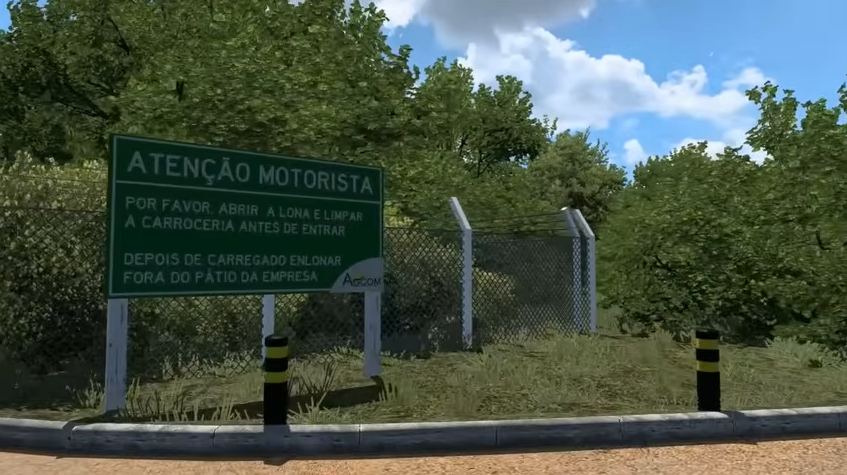
🏭 Companies and industrial areas
- Wide variety of companies inspired by real and fictional Argentinian brands
- Rural: soy, livestock, field activities
- Port and logistics
- Industrial: industrial areas, factories, meatpacking plants, silos
- Logistics hub: Mercado Central
🚛 Cargo and logistics system
- Passenger transport (with buses)
- Transport of heavy cargo, machinery, livestock, and fuel
- Loading points: terminals, ports, fields, and factories
- Service stations with functional fuel
- Port of Zárate with ferry/logistics system
🚔 Realistic Argentinian traffic
- Varied fleet: Argentinian cars, vans, buses, and trucks
- Security forces: national and provincial police vehicles
- Services: ambulances, taxis, private and cargo vehicles
- Urban and interurban buses (with real or fictional liveries)
- Argentinian road signage: signs, radars, vertical and horizontal signals
🏞️ Environments and landscapes
- Biomes represented: pampas, scrubland, northern jungle, urban areas, countryside, and suburbs
- Dynamic climate and local vegetation
- Transitions: urban entrances, suburban areas, and rural spaces
- Urban decoration: kiosks, supermarkets, parked buses, etc.
Credits:
Infinity Zeros
If the download link is outdated or doesn't work, you can add your download link. (If your link is valid, we will approve it within 24 hours.)