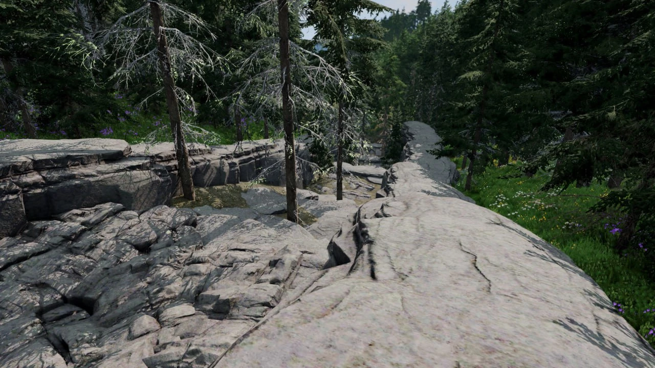
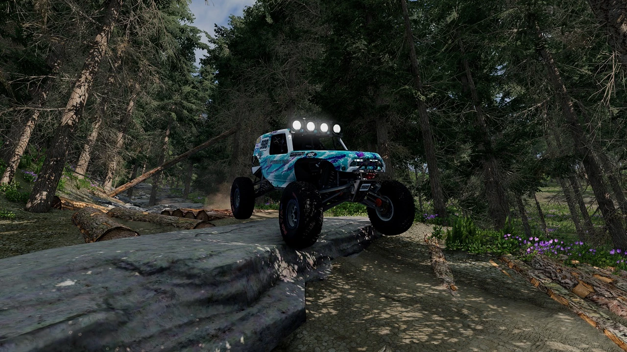
I hope you like rocks!
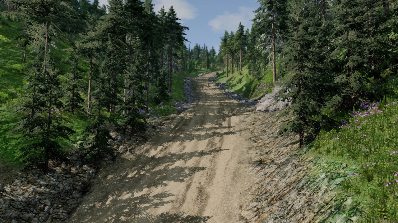
Finally, I can share what I’ve been working on for the past few months. After messing around with importing lidar data from USFS satellites, I took some data from the Camp 5 road area in the Black Hills of South Dakota for this map!
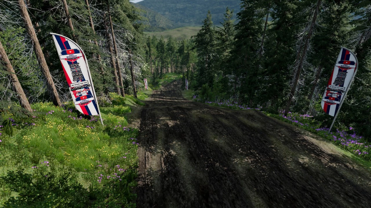
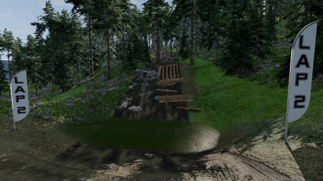
The map features both fast sections and fairly challenging ones with rocks, trees, and logs. A powerful, capable off-road vehicle is a must!
In version 1.66:
– Fixed a problem with prefabs
– Correction of textures
In version 1.65:
– Fixed a few crooked tracks with stickers, still needs more attention, but it’s better than it was.
– I did another balancing pass on the last track on the second lap. For cars with a long wheelbase, this was too cool, now there should be much less reason for rage — stop provoking.
In version 1.4:
– A few small, not so noticeable changes to fix some annoying moments on the track.
– Added a new road right near the start, on the left, as you approach the last section of the circle.
In version 1.3:
– Some problematic areas on the first lap have been smoothed out, and several warning signs have been added when you should probably think about checking the brakes.
In version 1.2:
– Nothing major in terms of major repairs, but there are now potholes, and a couple of tricky spots have been adjusted to make them easier to navigate on a UTV with 35-inch wheels.
Credits:
ATypicalWhiteGuy
If the download link is outdated or doesn't work, you can add your download link. (If your link is valid, we will approve it within 24 hours.)
Download mod
| File | File size |
|---|---|
 Black_Hills_Battle
|
495 MB |