Comes with 2 versions
-WorldMap Satellite Background (without names)
-WorldMap Satellite Background w/State Name
Eddie Y. – Arizona, California, Colorado, Montana, Nevada, New Mexico, Oregon, Utah, Washington, Wyoming (entire USA exists on the map, but other states contain graphic glitches)
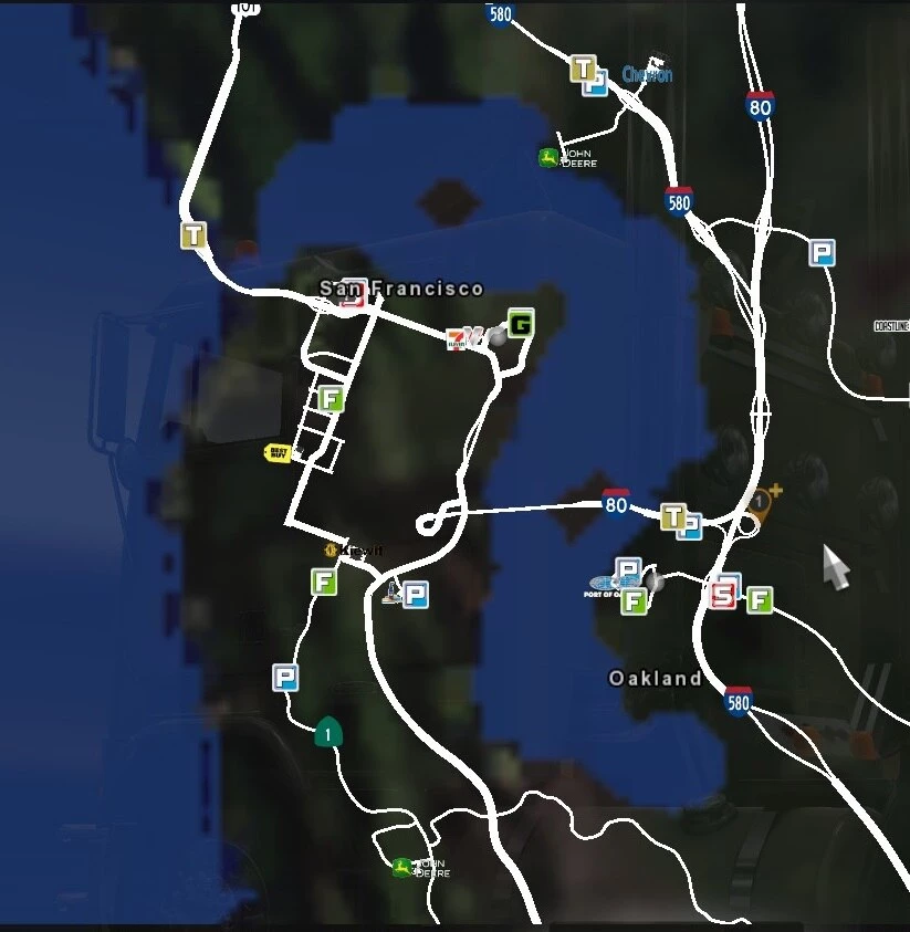
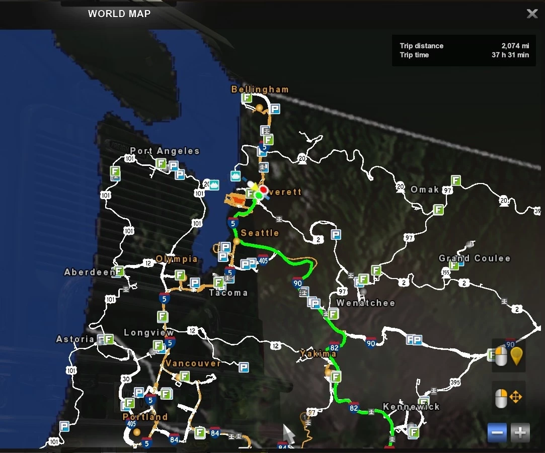
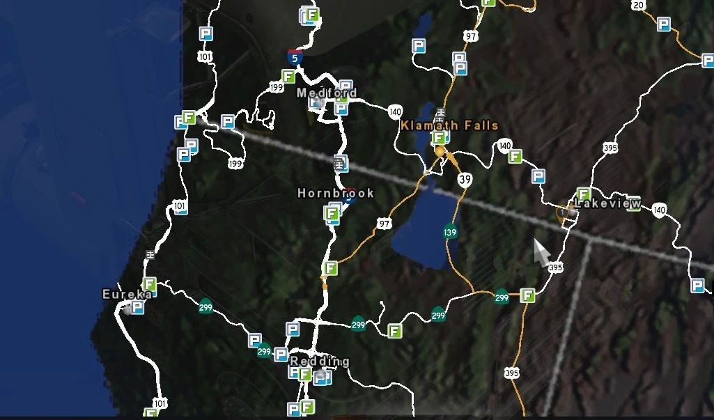
– includes LARGE bodies of water coordinated with ATS roads (NOTE: because one pixel on the map is more than 0.25 mile (425m) across, only LARGE bodies of water are included):
– Crater Lake, OR
– Flathead Lake, MT
– Fort Peck Lake, MT
– Great Salt Lake, UT
– Lake Tahoe, CA
– Palisades Reservoir, ID
– Priest Lake, ID
– Puget Sound, WA
– Salton Sea, CA
– San Francisco Bay, CA
– Shaver Lake, CA
– Upper Klammath Lake, OR
Changelog:
Update: 24 May
-Updated & fixed for 1.50
20 oct. – added eyt icon
CHANGELOG v1.1:
– fixed bugs as first reported
– Work In Progress: Please suggest other water bodies to include . . .
Update – added State ID’s and Yellowstone Park Boundary
Credits:
Eddie Yantz, Mahad110
If the download link is outdated or doesn't work, you can add your download link. (If your link is valid, we will approve it within 24 hours.)
Download mod
| File | File size |
|---|---|
 WorldMap Satellite Background 1.50
|
11 MB |
|
WorldMap Satellite Background
|
10 MB |