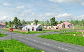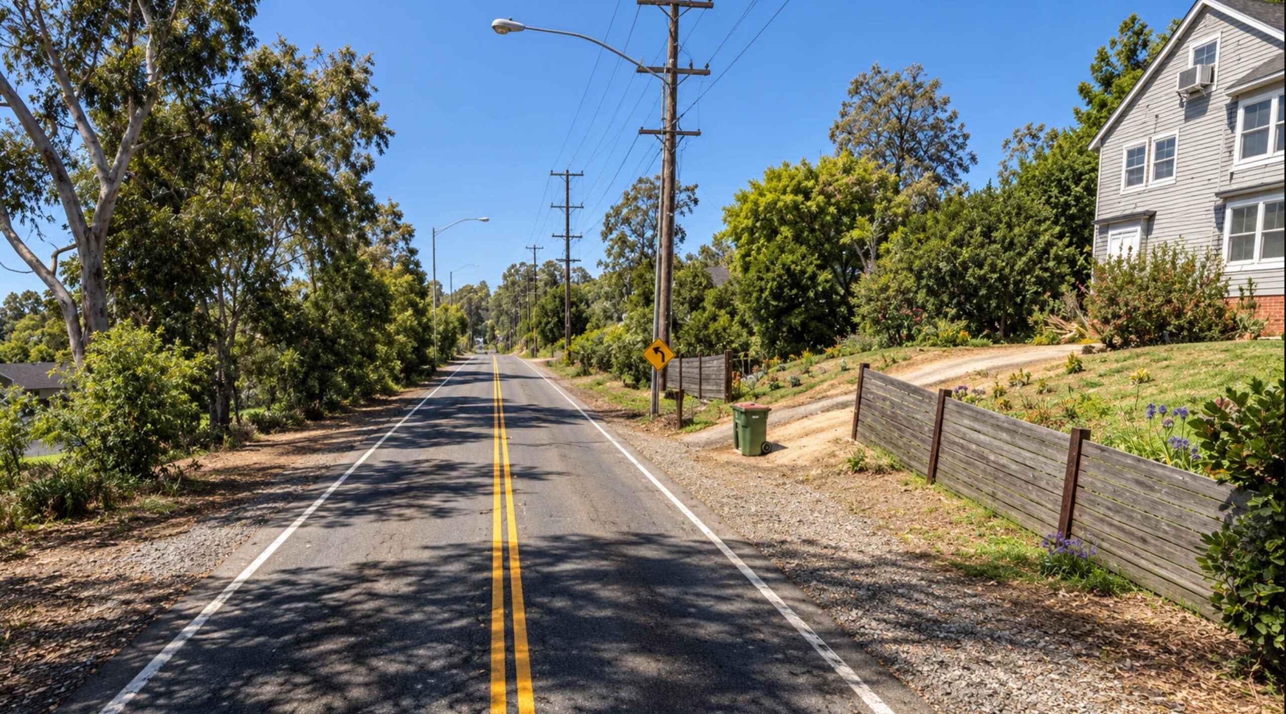
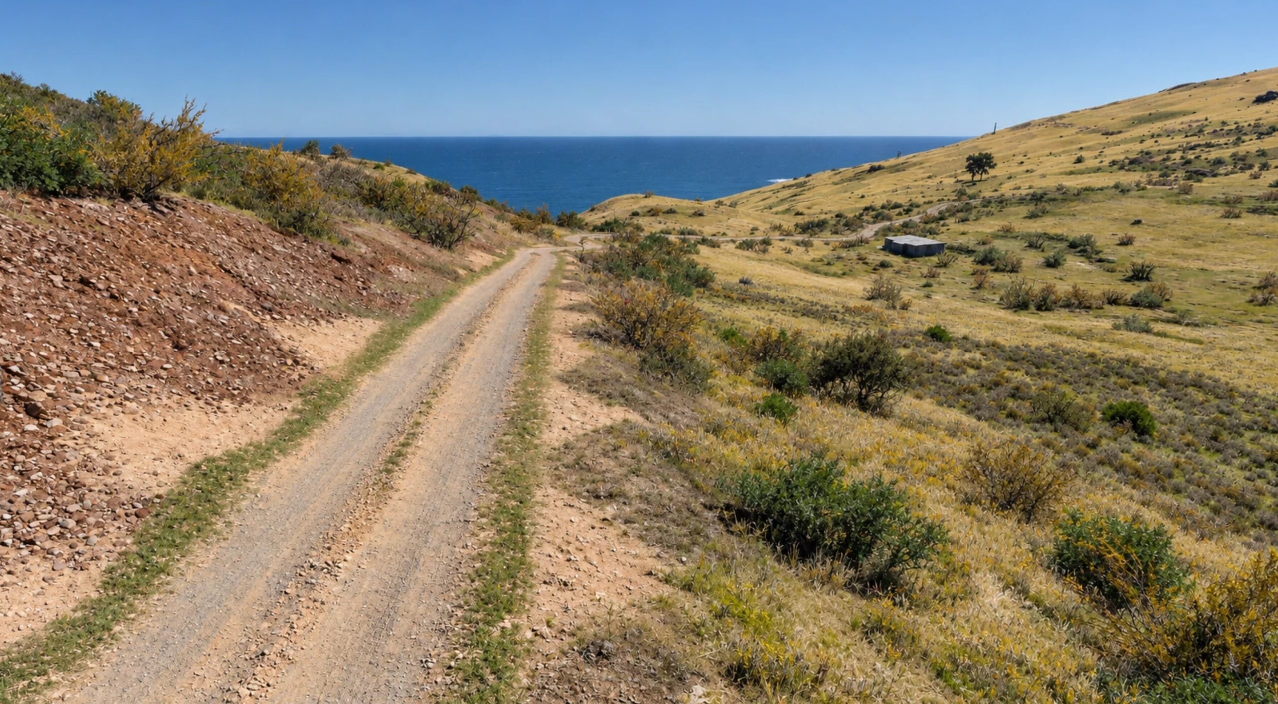
A 15 × 15 km area available for exploration, featuring approximately 187 km of roads, streets, and trails. The Haleakalā map recreates the unique landscape of the island of Maui within BeamNG.drive; the terrain is built using real-world LiDAR data, while the road network is based on OpenStreetMap data.
Drive through Kula, navigate winding mountain highways, explore country roads, or head up the slope to the 9.4 km “Polipoli Ring” race track.
Features:
– A 15 × 15 km map area.
– Approximately 187 km of roads, streets, and trails.
– Winding mountain highways and scenic coastal views.
– Settlements, residential areas, and country roads.
– The “Polipoli Ring” race track (9.4 km).
– AI traffic support.
Credits:
LockdStudio