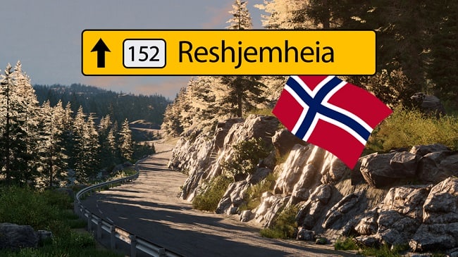
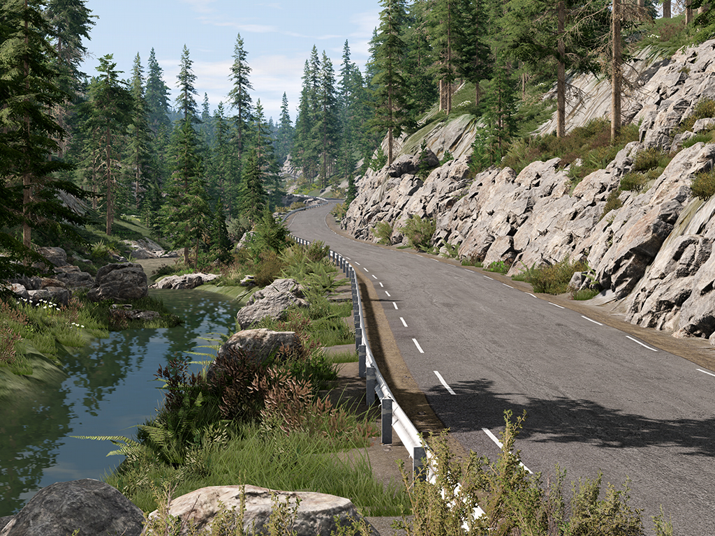
An exact replica of a real place in Norway.
– An 8×8 km map based on real geodata about the area in southern Norway;
– The card is available in summer and winter versions;
– PBR landscape with the effect of fresh rain on asphalt;
– More than 110 km of roads consisting of asphalt, mud and creeping paths. We have animated animals, frozen lakes, etc.;
– Paved and unpaved road. The total length of the paved road is currently 24.2 km (15.2 miles) along difficult and winding country roads. Travel time: 18 minutes at an average speed of 80 km/h (50 mph);
– Dirt roads stretch from the place where the new paved roads end, and up to the mountain peak (the highest point on the map). A long adventure on a dirt road with rocks. The trip takes about 12 minutes.;
– The runway. Take-off and landing are possible on Canadair CL-215 v1.0.2 aircraft;
– Frozen lake (in the snow version) with custom ice physics. The beautiful lake Vatnar is frozen, and you can participate in ice races, drift, or just destruction.;
– Significant improvement in performance and visual effects in most areas.
– Custom snow and ice physics for better handling IMO (especially for steering wheel driving).
In version 0.4.2:
– Updated vegetation materials and textures for version 0.39;
– Fixed textures of deleted vegetation;
– The defective Weed2 groundcover layer, which looked like black massive bushes, was removed;
– The rest of the vegetation on the map, roads, terrain, and custom objects are preserved.
Credits:
nobeam